Rafael made landfall as a Category 3 hurricane Wednesday afternoon in western Cuba before weakening, the National Hurricane Center said.
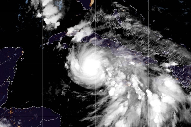
In a 2 a.m. ET Thursday update, the center said Rafael was about 115 miles west-northwest of Havana as it moves away from western Cuba and heads to the southeastern Gulf of Mexico.
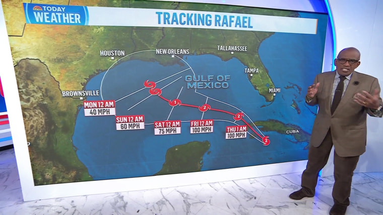
It had maximum sustained wind speeds of 105 mph, making it a Category 2 hurricane, and was moving northwest at 13 mph.

Rafael strengthened into a Category 2 hurricane Wednesday and then to Category 3 before it made landfall in the in the Cuban province of Artemisa, just east of Playa Majana. It weakened back to Category 2 after it made landfall.
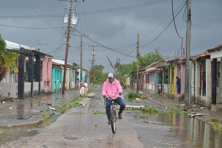
As the storm lashed the island, its national electric grid collapsed, leaving its 10 million residents in the dark, again, after previous collapses last month.
There could be some relief for the island. The life-threatening storm surge, damaging hurricane-force winds and flash flooding in western parts of Cuba should end Wednesday night.

The storm is expected to slow and turn to the west Thursday, continuing on that path through Saturday as it traverses the southern Gulf of Mexico.
Its strength is not expected to change much as it moves over the Gulf on Friday, with some weakening possible Wednesday night and Thursday.
In Cuba, Mariel reported sustained winds of 80 mph and a peak gust of 115 mph as the eye passed nearby. And a NOAA station at Sand Key, in Florida, reported a 66 mph gust, the hurricane center said.
A hurricane warning was in effect for the Cuban provinces Pinar del Río, Artemisa, La Habana and Mayabeque. A tropical storm warning is in effect for the lower and middle Florida Keys from Key West to west of the Channel 5 Bridge, and the Dry Tortugas.
An additional 2 to 4 inches of rain is expected across western Cuba on Wednesday night, bringing total storm accumulation to 12 inches, which "may lead to areas of flash flooding and mudslides, especially along the higher terrain," the hurricane center said.
Then heavy rain will spread north into Florida and adjacent areas of the Southeast U.S. by mid- to late week, with 1 to 3 inches of rain expected for the lower and middle Florida Keys.
Tropical storm conditions are expected in the lower and middle Florida Keys beginning Wednesday night.


