Travel disruptions were ongoing Saturday following a Christmas-week snowstorm that dropped several inches of snow in the Northeast, as a new storm system sweeps across the country.
Twenty-nine million people, from the Rockies to the Northeast, were under winter alerts Saturday evening. The alerts covered Minneapolis; Green Bay, Wisconsin; Duluth, Iowa; and Burlington, Vermont.
The highest snowfall totals are expected in the upper Midwest where more than a foot of snow was possible through Saturday night. In New England, freezing rain will lead to ice accumulation from upstate New York to Maine.

Snowfall totals
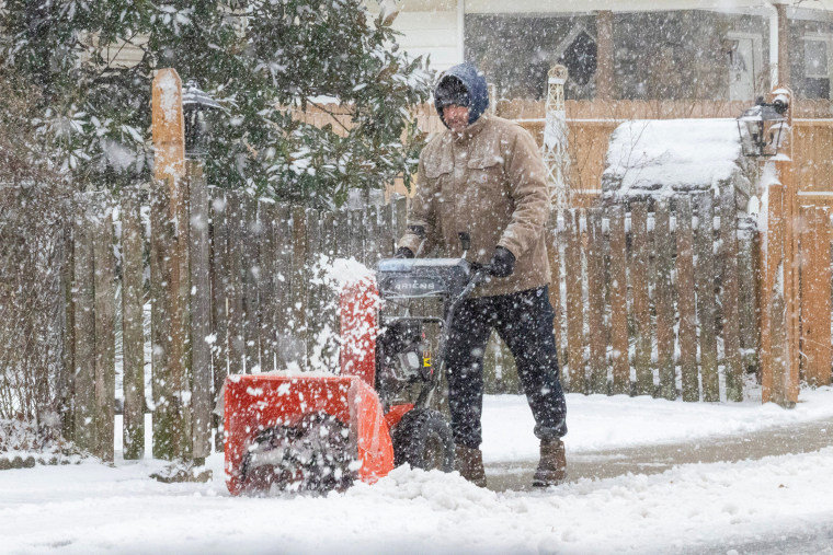
In New Haven County, Connecticut, home to Yale University, more than 10 inches of snow fell from Friday into Saturday, according to National Weather Service data. More than 9 inches fell in Fairfield County, Connecticut, where New England meets greater New York City. And 7.5 inches of snow was recorded at multiple locations in Suffolk County on New York's Long Island.
The heaviest snowfall — 13 inches — was reported in Phoenicia, New York.
In New York City, Central Park recorded 4.3 inches of snow, marking the park’s first snowfall of more than 4 inches since 2022, according to the weather service.

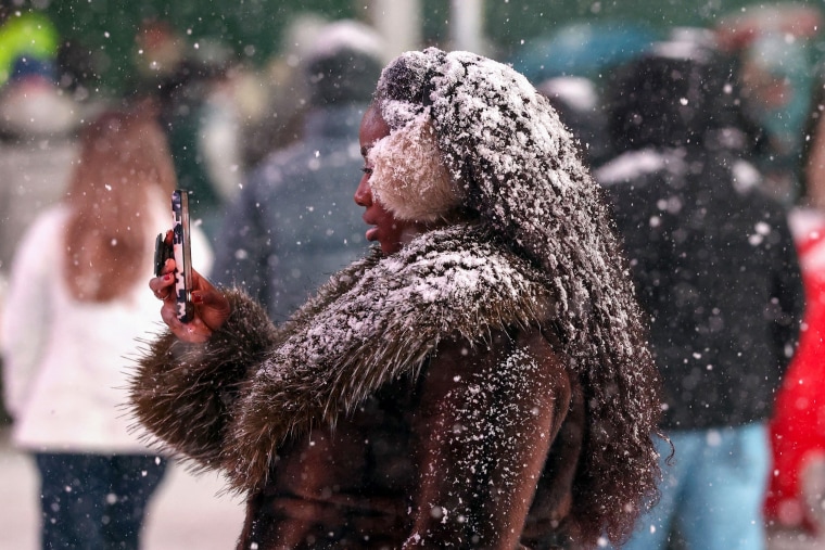
Some tourists in the city were delighted by the snowfall.
“I think it was absolutely beautiful," Jennifer Yokley told The Associated Press. "We're from North Carolina, so it was great to come up to New York and see the snow.”
Children built a snowman in McCarren Park in the city's Williamsburg neighborhood while visitors braved 28-degree temperatures to enjoy snow-covered paths in Central Park, according to the National Weather Service and NBC New York.
Hazardous travel
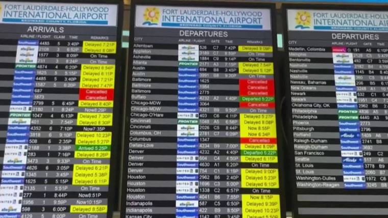
While precipitation from the earlier storm has tapered off to flurries, snow- and ice-covered roads have created hazardous travel conditions and the weather has created a headache for some travelers.
More than 8,700 flights into or out of the United States were delayed and over 1,400 were canceled as of Saturday night, according to flight tracking website FlightAware.
A video captured from inside a car driving through Torrington, Connecticut, on Friday night shows heavy snow slamming the windshield and reducing visibility.
Another video, taken just outside of Boston on Friday night, showed heavy snow falling on a road already coated in white.
A new storm system is hitting the U.S.
A winter storm with origins in the Pacific is marching east after bringing scattered snow showers to the Rockies and inland portions of the West.
The low-pressure system will impact the Midwest, the Great Lakes, and the interior Northeast by the end of the weekend, the National Weather Service said. Snow and icy conditions will be bolstered by a dip in the Polar Vortex that will bring Arctic air south, it said.
By Sunday evening, a cold rain will move into Ohio Valley and the Mid-Atlantic, while freezing rain in New England could create icy roads from northern New York through Maine.
A flood watch has been issued for parts of western New York, including Buffalo.
Wrap-around snow will continue in the western Great Lakes through Monday, with a dusting of up to 1 inch possible in Chicago and Milwaukee.
Lake-effect snow bands downwind of Lake Ontario and Erie will linger into Tuesday as the storm system moves offshore.
Wind gusts are forecast to reach 35 mph, creating blizzard conditions at times from Sunday morning through midday Monday.

