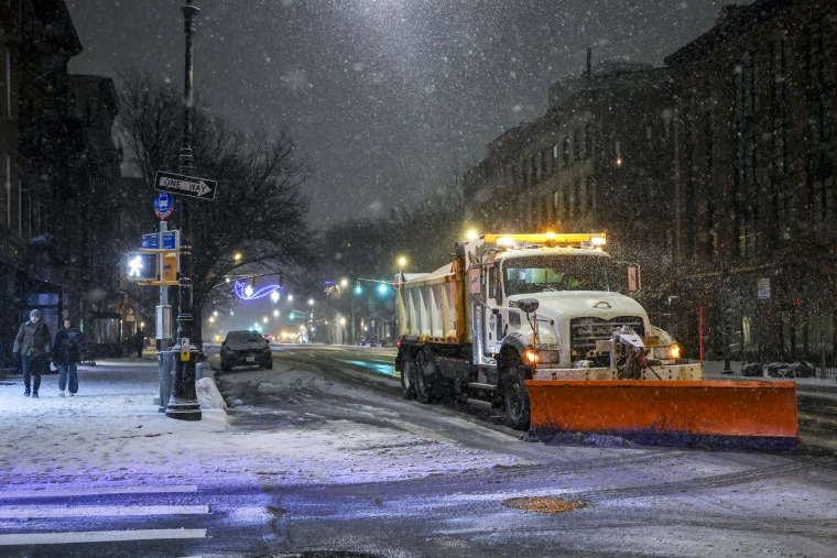
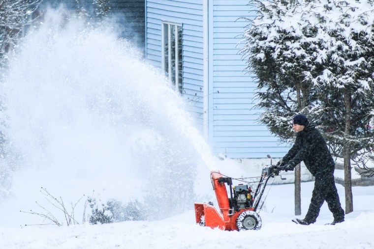
A powerful storm system continues to disrupt travel, placing 64 million people under winter weather alerts that span the eastern two-thirds of the country.
A string of tornadoes erupted in central Illinois on Sunday, with preliminary National Weather Service reports saying eight homes and a garage were destroyed and two other homes sustained significant structural damage in Macon County. No injuries were reported.
NBC affiliate WAND of Decatur reported that the roof of a home in Macon County was ripped off by a tornado's winds but that multiple people and pets inside were able to escape uninjured. It was one of two unconfirmed tornadoes in the county Sunday afternoon, the station said.
The tornadoes followed the leading edge of a cold front that caused plummeting temperatures and created roiling, unstable air as the storm moved east-southeast and collided with warmer air, federal forecasters said.
Over 6,000 flights were delayed and more than 500 were canceled into or out of the United States by midday Sunday.
Minneapolis-Saint Paul International Airport was subjected to a weather-based ground delay that expired Sunday night, according to Federal Aviation Administration alerts. An average delay of 3 hours and 9 minutes had been expected, it said. Boston Logan International Airport travelers could be delayed overnight, according to its operators and the FAA.
"Due to forecasted snowfall and deicing operations, Boston Logan expects delays overnight and early tomorrow morning," the airport's operator, Massport, said in an alert late Sunday.
Snow fell in parts of Colorado, Wisconsin and Minnesota on Sunday morning, while rain stretched from Iowa into the Ohio Valley, bringing gusty winds and lightning to some areas.
A video recorded in the Minneapolis area Sunday morning shows heavy snow falling onto an already snow-covered ground.
A strong line of storms was projected to develop Sunday evening from the Great Lakes into the mid-South. An estimated 141 million people are under wind alerts inspired by the winter storm front late Sunday.
The alerts stretched from the Plains to the mid-Atlantic and include Dallas; New Orleans; Little Rock, Arkansas; Kansas City, Missouri; St. Louis; Chicago; and Philadelphia. Widespread gusts as strong as 45 mph were possible, with some local gusts expected to clock 65 mph.
Five million people across Illinois, Indiana and northwest Kentucky remain under a slight risk for severe weather that could produce damaging wind gusts, large hail and multiple tornadoes.
Freezing rain was falling Sunday night over parts of New York, Pennsylvania and New Jersey and could continue Monday across New England. Ice accumulation from upstate New York to Maine was possible through Tuesday.
On Sunday, New York Gov. Kathy Hochul’s office warned much of the state that severe weather was en route if it hadn't already landed. It said more than 6,700 utility workers were placed on standby to respond to repair and restore any damaged infrastructure.

Meanwhile, National Weather Service storm reports include observations of multiple tornadoes in Illinois on Sunday. The reports are preliminary and are usually checked out during next-day ground inspections by trained spotters.
They include four observations of tornadoes in Macon County; a report of a 1.75 mile-long EF1, or lowest-force, tornado in Allentown, Illinois; and a tornado near Illinois' Christian-Macon county line described, from "storm chaser video," as "kicking up dirt and corn stubble."
Multiple tornado warnings for Indiana and Kentucky expired late Sunday. More than 32,000 utility customers were in the dark late Sunday in Illinois, Indiana and Kentucky, according to utility tracker PowerOutage.us.
In addition, more than 52,000 customers in Michigan and more than 12,000 customers in Wisconsin were without power, the tracker indicated.
Anticipating the storm's affects as it moves east, Buffalo Mayor Chris Scanlon on Sunday announced Buffalo Skyway, an elevated roadway over the Buffalo River that connects downtown Buffalo to the northern end of Buffalo Harbor, will be closed until further notice starting at 6 a.m. Monday.
Parts of Iowa, Minnesota and the Dakotas were expected to experience blizzard conditions from high snowfall rates and 40 mph wind gusts, making travel difficult.
Minnesota Gov. Tim Walz on Sunday authorized the Minnesota National Guard to participate in the state's emergency storm response, including rescuing motorists if necessary. A no-travel advisory was in effect for state roadways in south central Minnesota until further notice, the governor's office said in a statement.
The city of Minneapolis declared a snow emergency starting Sunday night. It prohibits parking along "snow emergency routes" where plowing is planned.
Elsewhere, video verified by NBC News shows whiteout conditions Sunday in Grand Forks, North Dakota.
Hazardous travel conditions were forecast for Wisconsin and the Upper Peninsula of Michigan overnight; wraparound snow will target parts of Michigan and the eastern Great Lakes through Monday.
Residual lake-effect bands will persist downwind of Lake Erie and Ontario through Tuesday, bringing 3 to 6 inches of snow, with up to 14 inches locally.
The Upper Midwest is forecast to get 3 to 9 inches of snow, with localized amounts of up to 20 inches
The system will linger over New England through Monday evening before it moves offshore by early Tuesday.
Power outages and hazardous travel conditions are possible from northern Pennsylvania through Maine, as ice accumulations could reach 0.2 to 0.5 inches.


