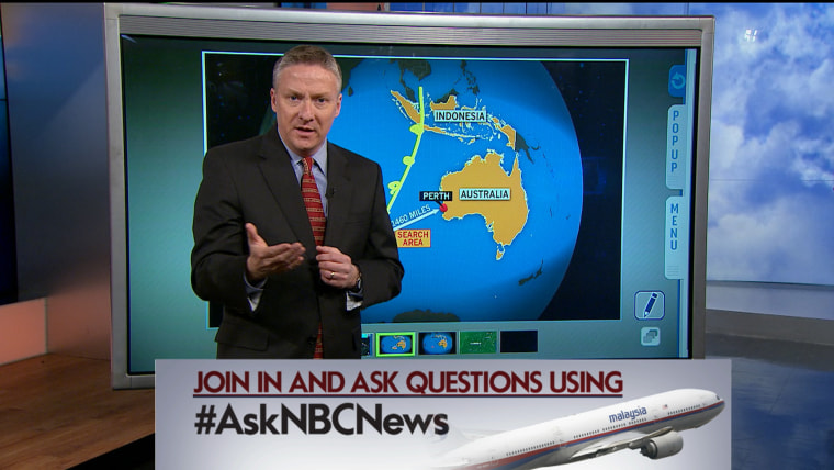
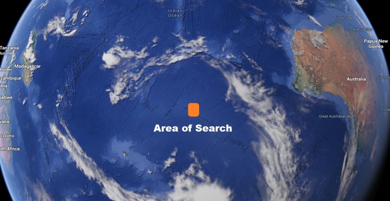
An industry expert has shed more light on how satellite experts would have pinpointed the region in which they are almost certain Malaysia Airlines Flight 370 went down.
Malaysian Prime Minister Najib Razak told a news conference Monday that the British Air Accidents Investigation Branch worked with London-based satellite firm Inmarsat to provide "analysis never before used in an investigation of this sort."
According to Dr. Simon Boxall, an oceanographer who has conducted decades of satellite work, the analysis involved experts working around the clock to find another angle from their data. Until this breakthrough, these "pings" had only shown two large arc-shaped search areas stretching from Kazakhstan to the southern reaches of the Indian Ocean.
"Engineers have been wracking their brains and working day and night to find a way to use this data to show, not just the large arcs, but the exact location along it where the last ping was recorded," said Boxall, who has years of experience working with companies including Inmarsat.

The pings from the Boeing 777 were designed to convey information about the aircraft's technical status to be analyzed by engineers. "This has never been used to find a missing plane because there has been no reason to use it — until now," he said.
Boxall said the process was made harder because this part of the Indian Ocean is one of the most remote regions on the planet in terms of satellite coverage.
"Most of the satellite images we have received have been gathered by satellites which have had their look angle directed on this area" since the plane went missing.
He said the location meant that the region might be photographed by a satellite as infrequently as once a month.
The U.K. Air Accidents Investigation Branch refused to comment because the search was a "live investigation" being led by the Malaysian authorities. Inmarsat was not available for comment.
— Alexander Smith
